
Cleveland Neighbors Block Sources
Public records can describe the parcels around a Cleveland address, but they do not create a complete household list. MyPlace supplies the parcel map and property-data paths. The Recorder supplies recorded-party and instrument leads. County Archives adds historic maps and tax material, while the city permit system adds reported work and violation records. Voter tools use a known-name route, not an address-only block search. Community organizations are useful for service-area contacts, not for identifying members.
| Source | What It Shows About a Block | Access |
|---|---|---|
| MyPlace map and parcel data | Clickable parcel, property-data path, and selected parcel identity | Public map and property portal |
| Official Records Search | Recorded parties and document, legal-description, address, or parcel clues | Public index, Recorder counter, or request path |
| County Archives maps and tax duplicates | Historic parcel context, owner clues, building outlines, and tax changes | Appointment and Map Room route |
| Cleveland Citizen Access | Address or parcel permit and violation records | Public search and city records office |
| Ohio voter tools | Known-name registration confirmation and dated county snapshots | Official search or date-and-county download route |
Use each source for its stated purpose. A recorded party may be an owner, a transfer participant, or another named party to an instrument. A map pin is a discovery point. An official document and its date are the verification step. Note: No result proves that nobody lives at an address.
When a current map stops being useful, the County Archives supplies a local fallback. Its property-research guidance points to original map volumes for about 1860 through 1945 and tax records for about 1819 through 1986. Keep the parcel number, former and current address, legal description, and map reference together before asking staff for historic material. That approach tests whether records belong to the same parcel rather than assuming a modern street label has always meant the same place.
Mapping Cleveland Neighbor Parcels
MyPlace provides the verified adjacent-parcel method. Search the starting address, open the property result, select View Map, zoom to the parcel, and click the bordering parcel polygons one at a time. The portal says users can zoom and click a parcel for more information. It does not document a public radius or buffer feature, so a block check should remain a map-browse task rather than a claimed automated neighbor search.
- Locate the starting Cleveland address in MyPlace and record its parcel number, situs address, and selected-map position.
- Open View Map, then click each immediately adjoining parcel polygon and preserve the parcel ID for every result.
- Review each parcel's General Information, Transfers, and document-list lead. Keep the mailing field distinct from the situs address.
- Use the Recorder to verify a relevant recorded instrument. For the full chain along a named road, use the Cleveland street directory approach.
A small worksheet is enough: parcel ID, situs address, map position, recorded owner field, transfer or document number, and any visible city record. That preserves the source trail without turning a parcel map into a personal profile.
Cleveland Neighbors Proof and Leads
MyPlace is a county public-service map and property display, yet the county says its geographic data are not the official record. Treat it as the bridge from an address to a parcel, then confirm the selected fact through the Fiscal Officer's transfer and recording material. This is important when a transfer, mailing address, or map layer has changed. A Recorder search can use party, date, address, parcel, legal description, or document number to find the instrument that supports the lead.
| Official record route | Commercial neighbor-search category |
|---|---|
| Identifies a named custodian, record type, date, parcel, and copy or counter route. | May combine public and nonpublic-source data with uncertain update timing and scope. |
| Allows a reader to check the original instrument, court file, or official response. | May not identify the source document needed to resolve a shared name or changed address. |
| Has statutory redactions and court or office access rules. | Does not remove the need to verify information with the public custodian. |
For Cleveland neighbors, rely on the official source when the question is ownership, a transfer, permit history, or a court-record procedure. Keep a source date because public records can be updated, corrected, or limited by access rules.
Cleveland Neighbors Permit History
Cleveland Citizen Access adds a documented-work layer to a block. Its public form offers general, address, contact, application, and parcel paths. Address criteria include direction, street number or range, street name, type, unit, city parcel number, city, state, and ZIP. The city says a person can look up permit status without a login or being the filer. Use a permit result to identify a reported application, inspection, or status update, then ask the city records office for an official document when needed.
The public Cleveland permit search shows the address and parcel routes used for a parcel-focused review.
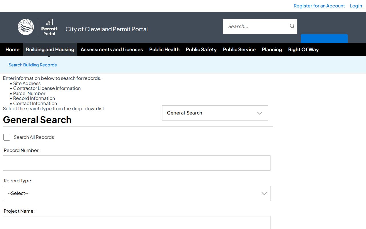
A missing permit entry does not prove work never occurred. Cleveland states that address history is incomplete when an owner did not obtain a required permit, so the display is a city-record trail rather than a complete physical history.
Cleveland Neighbors Community Contacts
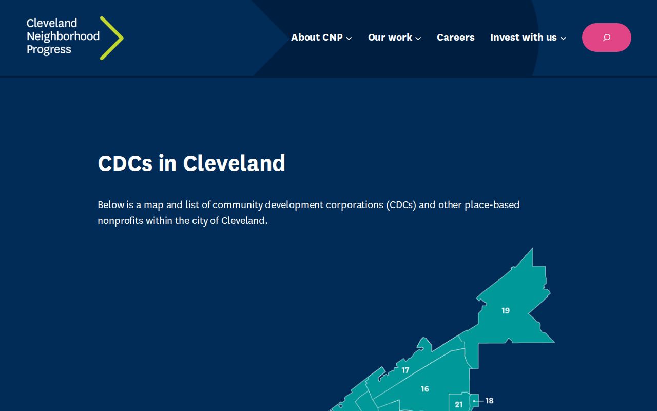
Community Development Corporation boundaries are a practical contact map for a block. The city's CDC Service Area GIS identifies the authoritative boundaries and contacts. Cleveland Neighborhood Progress maintains a directory of operating organizations. These organizations can supply public service-area context or a neighborhood office contact. They should not be described as member rosters, and the relevant map can differ from a ward, ZIP, planning district, or municipal line.
| Contact layer | Cleveland examples | Use |
|---|---|---|
| CDC Service Area GIS | City boundary and contact layer | Find the organization serving the location |
| Cleveland CDC directory | Ohio City Inc., Tremont West, Slavic Village, Fairfax Renaissance, St. Clair Superior, Greater Collinwood, and others | Locate a public community contact |
| Community Relations Board | Public district-representative contacts | Route a civic question to a city contact |
The Cleveland CDC directory is the source for the citywide organization list.
The Community Relations Board contact list offers a separate public institutional route.
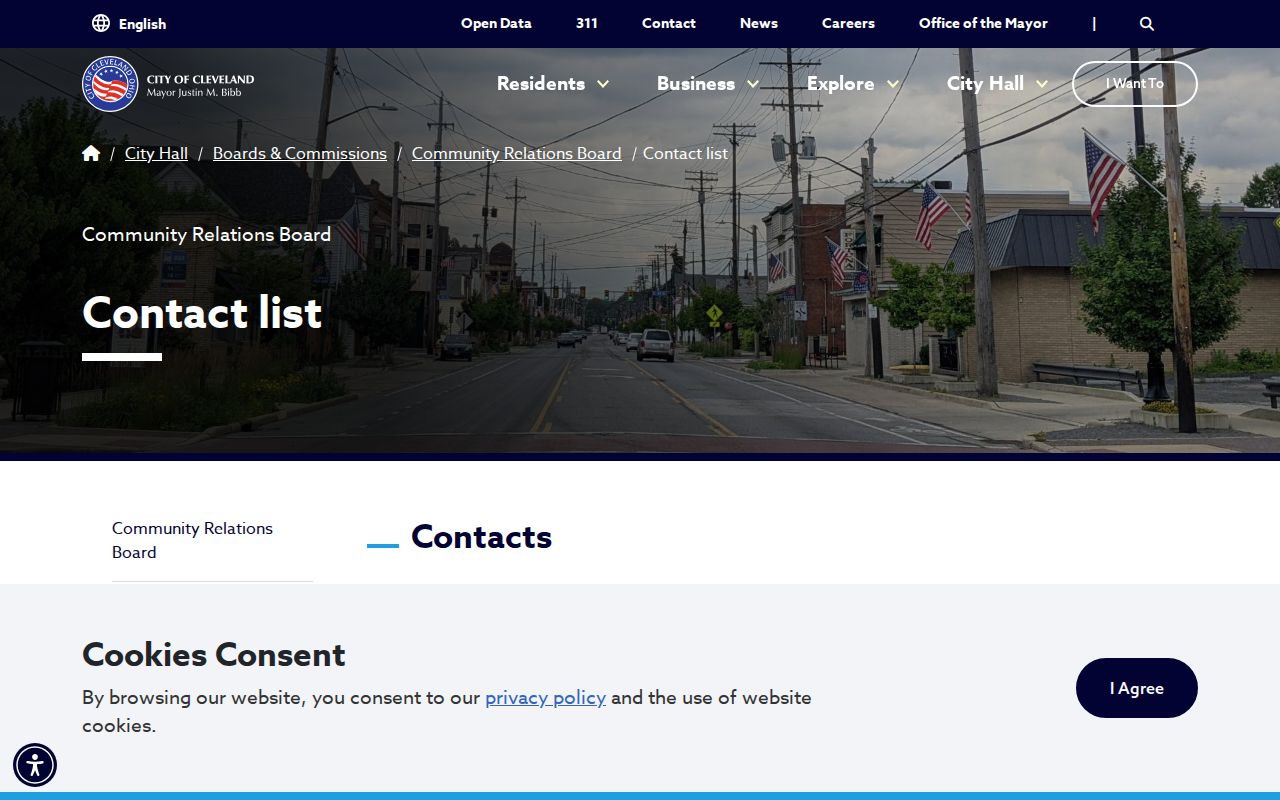
Use either contact source to ask about service areas or public programs, not to seek a list of people on a block.
Cleveland Neighbors Voter Limits
Ohio Voter Search is a known-person confirmation tool. First name, last name, and county are required before it returns registration and precinct or polling information. It does not accept an address-only query, so it is not a Cleveland neighbor list. The County Board of Elections is the correction and public-record contact when a person needs help with their own registration record or a tailored public-record request.
The DATA Act archive separately distributes daily county registration snapshots. A single county and date file downloads directly, while a limited date range has its own request and delivery rules. Those files are dated raw records, not a live address assertion. R.C. 3503.13 excludes specified identifiers, contact data, confidential voter categories, and protected addresses. Note: Do not attempt to reconstruct protected or ambiguous addresses from voter material.
The Cuyahoga County Board of Elections provides the local correction and records route. Its public-record process can receive a narrow request that names the needed public fields and dates, while its registration channel handles a voter’s own correction. A daily snapshot is created by the county and preserved as a dated file, so it must not be described as a complete present-day view of a block.
Cleveland Neighbors Property Alert
Cuyahoga County's free Property Alert is a useful protection tool for a name, entity, keyword, or selected recorded document. It sends an email when a filing matches the alert. It is not title assurance, and the county warns that it may not detect every erroneous or fraudulent filing. Use it to notice a possible document event, then review the recorded document or contact the Fiscal Officer before drawing a conclusion.
The Cuyahoga Property Alert page shows the county's recorded-document monitoring route.
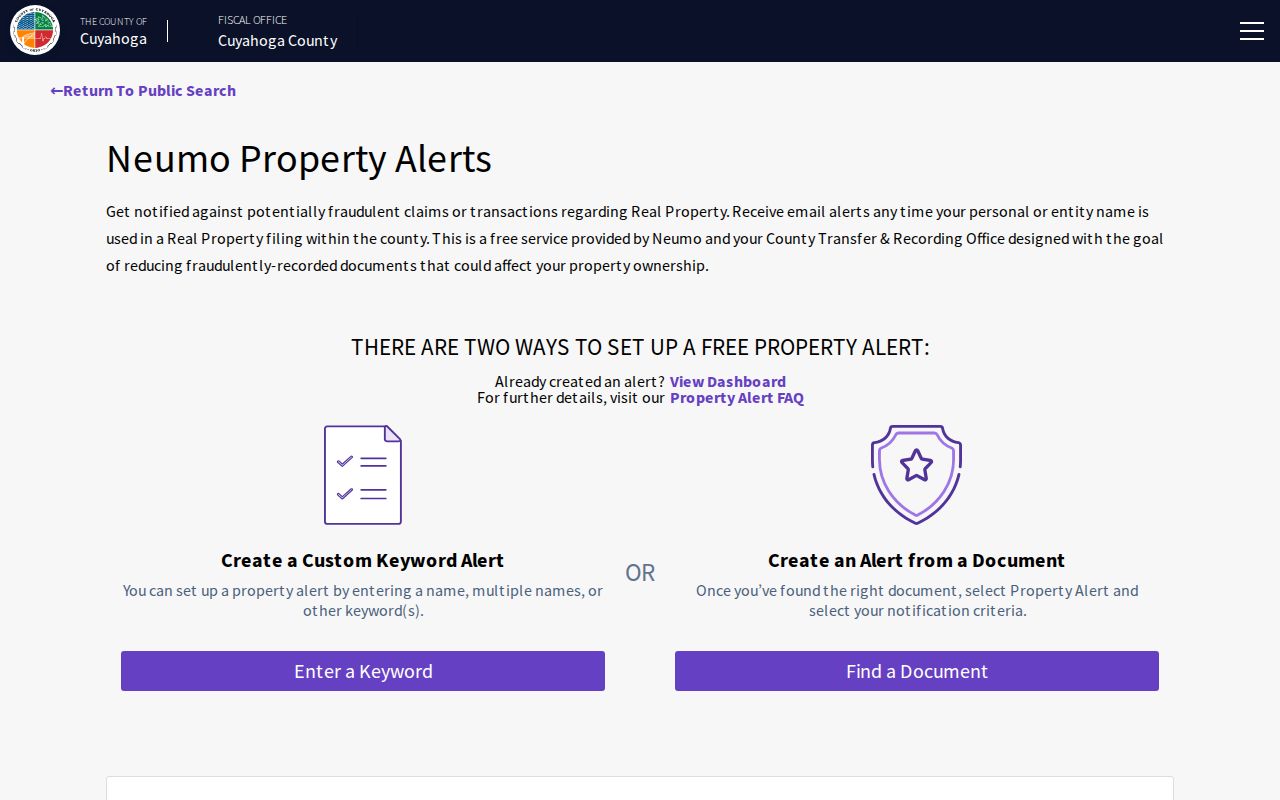
Because the service disclaims completeness and notice liability, it complements but never replaces a direct check of title records and official filings.
Cleveland Neighbors Use Different Maps
A Cleveland block can fall within several different geographies at once. City Planning uses Statistical Planning Areas and planning districts. CDC service areas, wards, ZIP codes, municipal lines, street numbering, and neighborhood names use other boundaries. A CDC contact map may help with a local service question, but it does not replace the parcel map. Likewise, a ZIP or neighborhood label should not be used as proof of a municipal or property boundary.
For older parcels, the 1906 Cleveland street-name and address-number standardization can add another layer. Preserve the current and former address, parcel number, legal description, and map reference before comparing historic records. That keeps a block inquiry attached to the same property even when a street label has changed.
City Planning Maps can search an address and offer parcel selection, ward, neighborhood, zoning, landmark, measurement, and print or share layers. Those layers provide geographic context, not ownership proof. Pair a map result with MyPlace for the selected parcel, then with a recorded document if a name or transfer needs verification. Cleveland's overlapping map systems are useful only when each one is kept in its proper role.
Cleveland Neighbors Privacy Limits
Property and map records show selected parcel facts, not private household data. Safe at Home gives qualifying participants a substitute address for protected governmental uses and provides confidential voter handling. Court files can restrict protected identifiers and sensitive case categories. State motor-vehicle information is subject to separate federal and Ohio limits. A public record can be available in part while important fields remain withheld.
For an incorrect or sensitive record, contact the custodian that holds it. R.C. 149.45 provides a web-redaction procedure for covered sensitive information, while R.C. 317.082 applies specific recorder rules. Keep the exact document, parcel, case, or record reference with a correction request. Do not use a map, address, or records result to watch or contact someone without a lawful reason.
Lawful use. Cleveland neighbor records support personal, historical, civic, and safety-aware research. Do not use any result to stalk, harass, or harm another person.