
Cleveland ZIP Code Coverage
Cleveland has 18 street-delivery areas in the city’s 2025 map-based coverage, plus 44101 and 44199 in facility or unique-postal context. The area labels below are orientation aids, not a claim that the Postal Service boundary follows a neighborhood or municipal line. Use an exact address and unit to verify delivery. This ZIP code directory keeps the facility contexts separate from ordinary street-delivery areas.
| ZIP | Cleveland-oriented area | Post office or check | Postal caveat |
|---|---|---|---|
| 44101 | Central Cleveland facility / unique-postal context | Cleveland Post Office | Not a neighborhood boundary. |
| 44102 | Near West Side, Edgewater, Detroit-Shoreway, Ohio City | A Station | Lakewood-edge effects. |
| 44103 | Central/east, St. Clair Superior, Goodrich-Kirtland Park, Hough/Midtown edges | B Station | Use exact address. |
| 44104 | Central/east, Central, Kinsman, Fairfax, Midtown edges | Jesse C. Owens Station | Use exact address. |
| 44105 | Southeast Cleveland, Broadway-Slavic Village, North Broadway | Newburgh Station | Newburgh-side geography. |
| 44106 | University Circle, Little Italy, university-area geography | University Center | Use exact address. |
| 44108 | Glenville and Forest Hills | Glenville Bratenahl Station | Also touches Bratenahl. |
| 44109 | Old Brooklyn, Brooklyn Centre, Clark-Fulton-Stockyards edges | Pearlbrook Station | Brooklyn boundary effects. |
| 44110 | Collinwood-side geography | Collinwood Station | Use exact address. |
| 44111 | West Park, Jefferson, West Boulevard-side geography | West Park Station | Use exact address. |
| 44113 | Downtown-west, Flats, Ohio City/Tremont-adjacent | Exact address lookup | Irregular boundary. |
| 44114 | Downtown and Public Square | Public Square Station | Use exact address. |
| 44115 | Downtown, Campus District, Asiatown edge | Exact address lookup | Irregular edge. |
| 44119 | North Shore and Nottingham-Collinwood | Beachland Station | Euclid-edge effects. |
| 44120 | Buckeye-Shaker-side geography | Exact address lookup | Crosses into Shaker Heights postal geography. |
| 44127 | Tremont, Clark-Fulton, South Broadway, valley side | Exact address lookup | Irregular boundary. |
| 44128 | Lee-Harvard, Lee-Seville, Mount Pleasant side | Exact address lookup | Reaches Warrensville Heights mailing geography. |
| 44135 | Puritas and airport-side geography | USPS location search | Verify by address. |
| 44144 | Southwest Cleveland and Bellaire-Puritas | Brooklyn Station | Shares postal geography with Brooklyn. |
| 44199 | Facility / unique-postal context | Live USPS lookup | Do not treat as ordinary neighborhood coverage. |
Do not add 44112 or 44118 as Cleveland city street-delivery areas merely because a postal city label can say Cleveland. Research identifies 44112 with East Cleveland geography and 44118 principally with Cleveland Heights and University Heights.
Check a Cleveland ZIP Address
USPS ZIP Code Lookup is the authoritative route for a specific delivery address. Its By Address path takes a street address, optional unit, city, state, and optional ZIP. By City & State returns ZIPs, while By ZIP returns USPS-recognized or recommended city names. The Postal Service expressly says that a lookup result does not confirm a person or organization at that address.
The following USPS lookup image shows the official postal route used before a ZIP is carried into a Cleveland permit search.
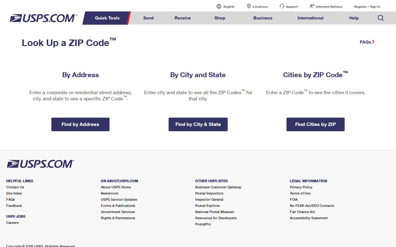
Enter the complete street address and unit where applicable. A postal result validates mailing geography, not ownership, residency, parcel identity, or a city boundary. Treat a USPS-recommended city name as postal phrasing, then confirm municipal jurisdiction through the relevant government record.
Narrow a Cleveland Search by ZIP
The ZIP code directory has a narrow role in records work. First validate the exact delivery address with USPS. Then use the address or parcel number in the system that owns the record. MyPlace and Official Records Search did not expose a ZIP filter in the captured forms, so a county property search should use its City, Address, Owner, or Parcel routes instead. Cleveland Accela does allow a ZIP field as an optional city-record criterion.
- Confirm the current mailing form with USPS, including the unit if one is needed.
- Use the address or parcel number in MyPlace to locate the county parcel.
- Use the parcel’s transfer or document clue in Official Records Search when the question concerns a recorded filing.
- Use ZIP in Accela only to narrow a city permit or violation query, then confirm the result by its address or parcel.
- When the question becomes a named street, use the parcel-by-parcel process in the Cleveland street directory.
A ZIP is a useful entry point, but the parcel number and legal description provide the stronger continuity keys when property research must survive an address change.
Cleveland ZIP Accela Fields
Cleveland’s public Accela Citizen Access form has General Search, Address, and Contact modes, with Application and Parcel options also identified in the interface. The city says permit status can be checked without a login. The form makes ZIP one optional geographic criterion among address fields, not a claim that all results within a ZIP share the same municipal jurisdiction.
| Accela field | Type | ZIP-focused use |
|---|---|---|
| Search type | Mode selector | Choose General Search, Address, or Contact before supplying criteria. |
| Street No. / Street Name | Text and range inputs | Anchor a permit query to a specific Cleveland address. |
| Direction / Street Type | Dropdowns | Match the address form used by the permit record. |
| Unit Type / Unit-Suite | Dropdown and text | Differentiate a unit when the address requires one. |
| City Parcel Number | Text | Carry a parcel-based lead into the city system. |
| City / State / ZIP Code | Text or selector | Narrow the city search geographically; verify a mailing ZIP with USPS. |
Permit history reflects activity reported to the city. A blank result does not establish that no work occurred at the location.
Cleveland ZIP Searches Need Parcel IDs
County property and recorded-document tools are not ZIP-wide directories. MyPlace begins with City, Owner, Parcel, or Address. Official Records Search offers party, parcel, document-number, address, legal-description, date, and document-type paths. Once a result is selected, keep the parcel number and legal description with the current situs address. This separates a delivery designation from the land description that will remain useful through a change in street name or number.
Use MyPlace’s View Map to discover a selected parcel, then use parcel details and recorded documents as the evidence trail. Geographic data in the map interface are a public-service display rather than the controlling official record. The Recorder or Archives route remains important when a document needs confirmation or a historical record no longer fits the current online display.
MyPlace shows transfers, values, land, building information, permits, taxes by year, and a document-list connection after a parcel is opened. The county says transfer data are updated daily, but its display is still a starting point. For a dated filing, compare the parcel trail with the recorded instrument, including its parties, recording date, legal description, and document number. That sequence prevents a postal label from carrying more weight than the source actually gives it.
Cleveland ZIP Lines and City Limits
Cleveland postal geography overlaps nearby municipalities in several places. 44108 touches Bratenahl; 44109 has Brooklyn effects; 44119 has Euclid-edge effects; 44120 crosses Shaker Heights postal geography; 44128 reaches Warrensville Heights mailing geography; and 44144 shares postal geography with Brooklyn. Those are reasons to verify the exact street and municipality before asking a city or county office for a record.
Boundary check. A Cleveland postal label can cross a municipal line, so use a verified address, parcel, or custodian-specific jurisdiction before treating a ZIP result as city coverage.
Note: USPS delivery geography, city limits, wards, neighborhood names, and county parcel lines answer different questions and should not be merged into one boundary.
Cleveland ZIP Code Terms
Postal terms can look like property terms, but they answer different questions. The definitions below keep a mailing designation from being mistaken for a parcel or resident record.
- ZIP versus ZIP+4
- A ZIP identifies a delivery area; ZIP+4 adds a more specific delivery segment for mail handling.
- PO-box ZIP
- A postal designation used for post-office-box delivery, not a neighborhood boundary.
- Unique ZIP
- A ZIP used in a facility or other unique-postal context rather than an ordinary street-delivery area.
- Carrier route
- A mail-delivery sequence or route that can cut across other local geography.
For Cleveland property research, preserve the USPS result in its own field beside the situs address, tax mailing address, parcel number, and legal description.
Cleveland ZIP Facility Labels
44101 and 44199 need special treatment. The research identifies 44101 as central Cleveland facility or unique-postal context and 44199 as facility or unique-postal context, not ordinary neighborhood delivery labels. The research did not locate an official static facility-use description for 44199, so a live USPS check is the proper verification path rather than an assumption about its purpose.
The USPS Beachland Station listing is one official postal-location reference associated with the city’s delivery network.
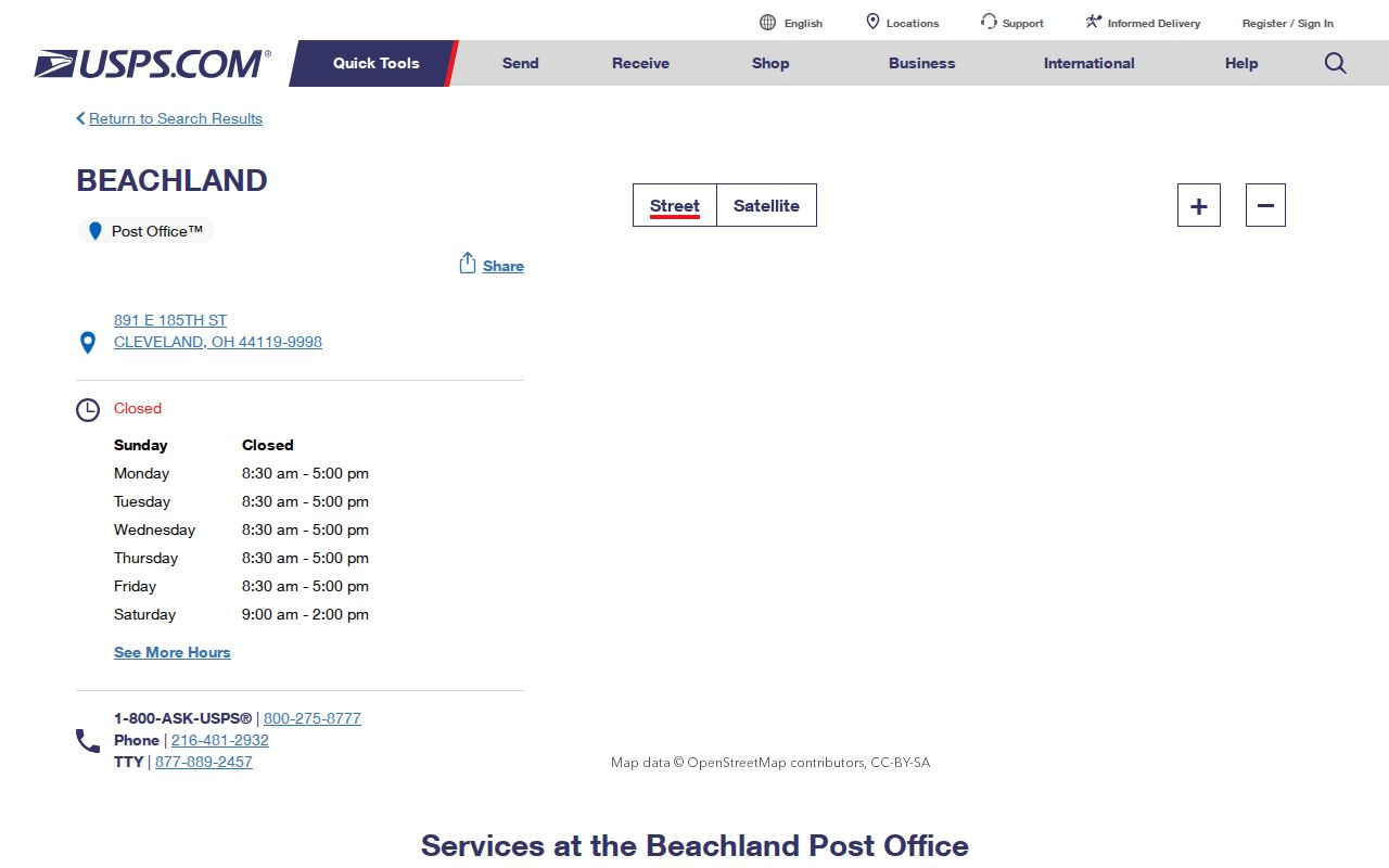
A station listing helps identify a postal service location, while an exact-address lookup remains the better check for a specific delivery question.
Cleveland ZIP Road Sides
Cuyahoga emergency-addressing data include left and right road address ranges, parity, municipality, and separate ZIP fields for each side. That is practical evidence that a road name alone is not enough to assign a delivery area. Use the house number, side of the street, municipality, and unit before carrying a postal result into a public-record request or city query.
This is especially important near municipal edges and irregular downtown boundaries. The safest sequence is exact address first, parcel or permit record second, and a dated historical source only after the current location has been identified correctly. Date the result you save so it is not confused with a later postal change.
Cleveland ZIP History Before USPS
Most Cleveland street names and all street address numbers changed in 1906. A current postal lookup cannot resolve an old directory or map by itself. First use the Cleveland Public Library’s Old and New Street Numbers bridge, then test the parcel number, legal description, lot, subdivision, and historic map context before applying the modern USPS format.
Cleveland also uses 36 Statistical Planning Areas and six planning districts, while wards, community development corporation service areas, neighborhoods, municipal limits, and postal areas remain different maps. That local geography is valuable for orientation, but the original record’s date and custodian control the research answer.